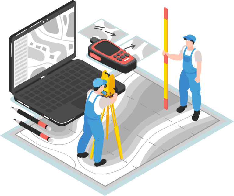
- Land Survey & Development
Transform your land development business
Our software adapts to your growing needs, from initial surveys to complex development projects. Empower your team with the tools they need to achieve success.

Get ahead of customers inquiry with these features
- Project Map
- Our powerful map feature lets you search for projects by number, address, or even their current phase. Always know where your projects stand.
- Live Map
- Our platform tracks your crew's location right on the project site, showing you exactly which phase they're tackling. Livemap empowers to make decisions.
- Timesheet
- Gain complete transparency with our detailed timesheets. Track employee work hours, equipment hours, and allocated versus approved times.
- Catalogue Management
- Our catalogues feature keeps track of all your crucial project resources. View detailed records, manage inventory levels, optimized your spending.
- Weather Forecast
- Land Development projects are highly dependent on weather conditions. Our software integrates real-time and hyper-local weather forecasting.
- Employee Management
- Our comprehensive employee management feature provides complete control over HR tasks. Track schedules, manage timesheets.
- Client Management
- Our Client Management feature empowers you to streamline communication, organize project details, and simplify billing – all-in-one-platform.
- Project Creation
- Project Creation feature lets you define land survey & development projects. Consolidate all services, from initial phase to final phases.
- Task Assignment
- Effortlessly assign tasks to your team with our user-friendly Task Assignment feature. Ensure clear communication, track progress.
- Business Analytics
- Our Business Analytics feature takes all your land development data and turns it into something clear and easy to understand.
- Messages & Instruction
- Management can easily assign tasks, provide detailed instructions, and attach relevant documents – all within the platform.
- Application
- Our software goes beyond project management – it empowers you with built-in applications for essential calculations. Forget manual calculations.
Streamline with integrations & Trusted partner
Maps
Capzo Map integration includes Google Maps, MapBox and OpenStreetMap. This way, you can visualize your projects and manage locations using the interface you already know and love.
Google Map
- Get a clear picture of the project location, surrounding areas, and potential access points. View existing infrastructure.
- Mapbox allows you to import and overlay your own survey data, geospatial information, and project plans onto the basemap.
Map Box
- Openstreet map thrives on volunteer contributions, offering a vast dataset of geospatial information constantly updated by experts.
Openstreet Map
Accounting & CRM
Capzo Accounting Integration Includes Quickbook, Wave, Xero automate your day-to-day tasks like tracking receipt, create invoices, Organize financial data.
Quickbook
- Make tracking receipts, Income Bank Transaction easily. Organize your financial data throughout year, making tax preparation a breeze.
Wave
- Create invoices, accept online payments, and make accounting easy-all in one place- with wave suite's of money management tool
Xero
- Automate your day-to-day tasks and keeps you up to date on the money side. Automate manual tasks and access client record any time.
Weather Forecasting
Make informed decisions with up-to-date weather forecasts. Schedule tasks around predicted conditions to avoid costly delays and ensure project success.
- The data frequently updated based on the global and local models, Satellites, radars and vast network of weather station.
Open Weather
Storage
Our platform integrates with Google Drive, allowing you to consolidate all your documents, plans, and surveys in a single, secure location.
- Consolidate all your project documents – survey reports, plans, drawings, photos, and videos – in one secure and accessible location.
Google Drive
Effortless engineering, Exceptional result for your business
Automate your efforts for more efficiency
Our innovative SaaS automates tasks, streamlines workflows, and puts everyone on the same page. This translates to exceptional results for your business: faster project completion, happier teams, and ultimately, a competitive edge.
Easily Message & Instruct Users
Team members can ask questions, share ideas, and discuss challenges – all within a single thread. This promotes transparency, knowledge sharing, and keeps everyone on the same page.
Assigned and schedule task
Effortlessly assign tasks to your team members directly within the software. Specify deadlines, attach relevant documents, and provide clear instructions – all in one place.
Easy to approve employee & Equipment Timecard
Managing timesheets can be a time-consuming task. Our Land Survey & Development Dashboard simplifies this process by offering a user-friendly platform for approving both employee and equipment timesheets.
Previous slide
Next slide
Frequently Asked Questions
What types of projects can I manage with the dashboard?
You can manage both land survey and land Development project with this dashboard.
Does Dashboard allow me to track project progress and deadline?
Yes this dashboard allow you to track project progress in job card of that project.
Does the platform offer training or support resources for new users?
Yes, we offer training for new users.
See what our user saying about us
+
70
%
"Before using the Land Survey & Development Dashboard, our projects were plagued by scattered data, missed deadlines, and communication breakdowns. This dashboard has been a game-changer! Our team can now access all project information – from surveys to budgets – in a centralized location."

John Doe
CEO

